Monthly Outlook

- Published
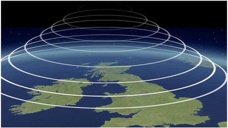
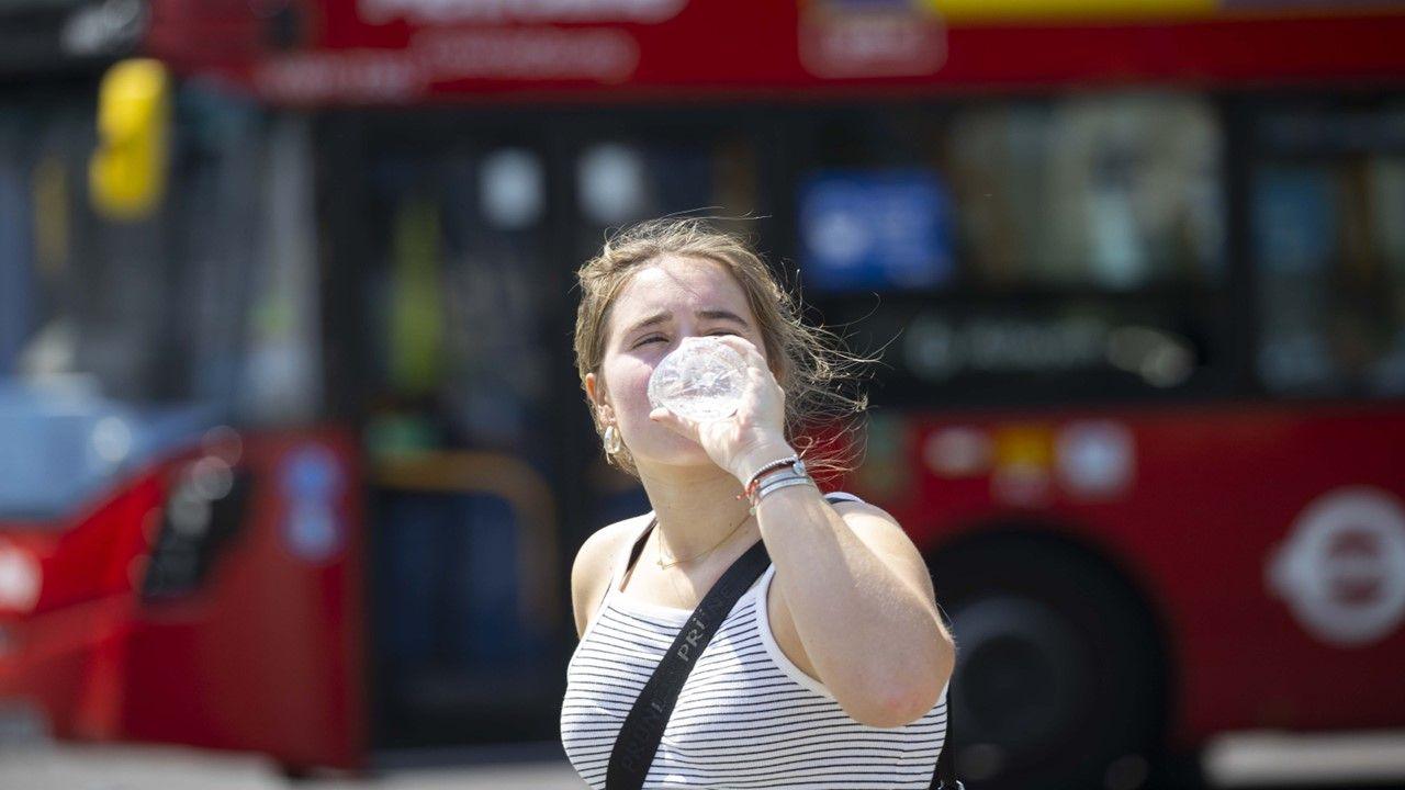
Drier and significantly warmer conditions are returning with temperatures well above average, even in northern areas of the UK at the weekend and possibly into next week.
The fairly warm and largely settled weather is likely to continue later next week, followed by cooler conditions towards the end of July.
Tuesday 9 July to Sunday 13 July
Another heatwave developing
Low pressure systems could pass near Iceland, with associated fronts crossing mainly Northern Ireland and Scotland at first. However, it will continue to warm up again from midweek onwards, particularly in southern areas, which should see largely dry conditions along with a prevailing high pressure ridge that extends as far as into continental Europe and later, towards Scandinavia.
Temperatures are likely to be a little lower across Scotland and Northern Ireland initially, getting occasionally suppressed by spells of rain or showers and accompanied by some brisker winds. People in central and southern areas of England could find the sustained heat increasingly difficult to deal with.
As for the weekend, the warm air mass will spread even further north, along with very warm or hot conditions across much of the UK, including fairly warm overnight temperatures as well.
Additionally, a lot of dryness is expected, except for parts of Northern Ireland and Scotland, where spells of rain or thundery showers accompanied by gusty winds may pass eastwards Sunday and into Monday.
Monday 14 July to Sunday 20 July
Ongoing warmth
Next week may begin on a similar note, meaning that the largely settled and fairly warm to hot conditions will continue at least at first. This is consistent with a stronger high pressure signal near the UK or extending at times towards continental Europe or Scandinavia.
Nevertheless, Northern Ireland and Scotland might see occasionally wetter and windier conditions, in line with a low pressure signature west of Ireland. Although temperatures may drop slightly over the course of the week, they are likely to remain well above average overall.
Monday 21 July to Sunday 3 August
Gradually cooler
The following week will bring little change at first, with temperatures remaining well above average across much of the UK. Further heatwaves are possible, especially in the south and south-east. Nonetheless, Northern Ireland and Scotland might experience a little less in the way of warmth.
High pressure patterns are expected to prevail, so it will remain drier although occasionally wetter and windier spells are still possible.
Towards the end of July and into August, however, gradually cooler and changeable weather conditions could move in from the west and north-west. This would be linked to slightly more active weather conditions in the eastern North Atlantic, as the high pressure area is likely to shift further towards far north-western Europe or Greenland.
Further ahead
Next update: Friday's update could provide more clarity about the most likely conditions for next week and give a further outlook for the period after that which might indicate if we are going to see cooler conditions towards the end of July and into August.
- Published27 June
- Published7 April 2022